
Search Shepherdstown Property Records
Begin at the county assessment search. Enter a Shepherdstown street or parcel number there. Next, open the County Clerk deed index for the most recent recorded transfer, and compare the legal description against the parcel map and recorded plat. Any planned alteration adds a town step: the building and historic-landmark process. Keeping ownership evidence apart from local approval history pays off here, since many lots sit in or beside a historic district where the two trails diverge.
- Find the parcel by street name or parcel components in the West Virginia assessment system.
- Compare the latest deed and legal description in the County Clerk’s record.
- Use the town’s zoning, corporate-boundary, floodplain, and historic-district maps to locate the lot.
- Check for a Building Permit and, in the historic district, a Certificate of Appropriateness.
- Ask Town Hall for a controlling ordinance or historic approval if an online document is unclear.
The county's Jefferson County property search shows how an address moves through the assessment and deed systems; the town's historic approval layer is the extra check.
Shepherdstown County Records and Permits
The County Clerk records deeds and plats. The Assessor keeps the parcel and value roll. Shepherdstown, in turn, issues permits for building or removing structures, fences, additions, and property-maintenance matters. Much of the town lies in a historic district, where the Historic Landmarks Commission must grant a Certificate of Appropriateness before any Building Permit.
Jefferson County Records (deeds, taxes, parcels)
County deeds, assessments, taxes, and parcel maps supply the ownership and tax record for the lot.
Shepherdstown Permits & Zoning
Town Hall, 104 North King Street
Shepherdstown, WV 25443
Planning: 304-702-2305
Shepherdstown Subdivision Records
The county subdivision inventory lists exact development names and nearby roads. These work well as plat-search strings. It does not confirm which developments sit inside town limits, though. Before applying town rules to a lot, check the corporate line and the growth boundary. Then check the parcel itself. The era field below marks dates that carry no official standing here.
| Neighborhood / Subdivision | Era | In the Records |
|---|---|---|
| Meadow Brook | Plat date not verified | Shepherdstown Pike / Cabbin Run Drive |
| Mountain Vista Farms | Plat date not verified | Shepherdstown Pike |
| Myers MHP | Plat date not verified | Near Harvest Hills |
| Nansfield | Plat date not verified | Shepherdstown Pike / Nansfield Drive |
| Norwood | Plat date not verified | Shepherdstown Pike / Redwood Court |
| Notting Hill | Plat date not verified | Shepherdstown / Shepherd Grade Road |
| Mark Kramer Commercial | Plat date not verified | Shepherdstown Pike / Amanda Court |
| North Hills | Plat date not verified | Listed near Cress Creek Country Club |
Run a development name through the County Clerk plat index. Then compare its tax-map and parcel references with the Assessor. The town boundary and historic-district layers show whether an address falls under municipal review. Countywide parcel details appear in Jefferson County parcel maps.
Shepherdstown Historic Permit Layer
Any building in the historic district needs a Certificate of Appropriateness first. The building permit comes after that. The town's permit guidance covers building, removing, or altering structures. It reaches a house, shed, extension, or fence. Property-maintenance standards also apply. A GIS historic-district layer makes a useful first check. Still, confirm the parcel's status with the planning contact. The town boundary and the historic review boundary are separate questions. The town publishes no address-searchable permit-history database online. Shepherdstown's building rules extend past new houses. A permit is required to build or remove a house, shed, extension, or fence. Property-maintenance standards also apply. Much of the town lies within a historic district. A single change can trigger a Historic Landmarks Commission review alongside a county deed or assessment check. The town's Building page describes the permit scope and the historic review process.
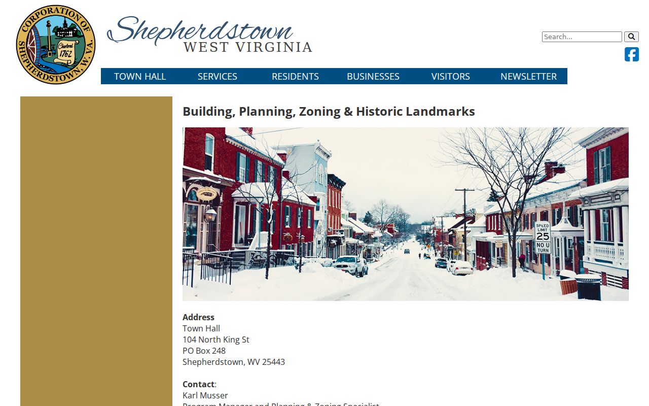
Use the town file to understand a property alteration, then turn to the County Clerk deed and Assessor parcel record for ownership.
Shepherdstown Certificate Sequence
Within the historic district, the Historic Landmarks Commission issues a Certificate of Appropriateness first. Only then can an applicant seek a Building Permit. The town's process materials cover design guidelines and historic review. The online page offers no public, address-searchable permit database. A missing web result, though, never proves that no approval exists. For an older house, or for a proposed change to masonry, windows, an addition, or a demolition, gather the details that matter. Ask for the address and parcel. Request the permit type and the issue or close date. Also ask for the Certificate of Appropriateness, the HLC decision, inspections, and any appeal record. Fees, coverage years, and submission forms live with the town offices.
| Record to request | Why it matters | Online status |
|---|---|---|
| Building or removal permit | Documents work on a structure or fence | Public address search not located |
| Certificate of Appropriateness | Shows historic-landmark review before a building permit | Ask Town Hall for the case record |
| HLC decision and appeal | Explains approval conditions or review outcome | Fields and archive years not exposed |
Shepherdstown Town GIS Layers
The town's mapping materials include corporate limits, historic-district boundaries, growth areas, flood information, zoning, and planning layers. Use them to identify which town office or review applies, and note the date or layer name whenever you save a map. A GIS outline is a planning aid, nothing more. It is not a survey or a ruling on a deed line. Because county offices hold the deeds and taxes while permits and zoning stay municipal, a full property inquiry often needs both town and county sources. The town planning page links a GIS geodatabase, a zoning map with parcels, a floodplain map, historic-district and corporate-boundary maps, the growth-management boundary, the 1986 Historic District Map, and the county GeoHistory or Geo-Explorer site. These layers help tell an old-town lot from a parcel near the growth edge. The county GIS legend lists several Shepherdstown zoning categories.
| Historic district | Check whether a parcel may need Historic Landmarks Commission review. |
|---|---|
| Corporate boundary | Separates town jurisdiction from unincorporated county land. |
| Growth boundary | Shows the town’s growth-management context. |
| Zoning with parcels | Categories include Commercial, Conservation/Open Space, Park Residential, Planned Unit Development, Public, Residential Low Density, Residential High Density, Residential/Commercial, and Shepherd University. |
| Floodplain map | Provides land-use context; verify requirements with the responsible office. |
Zoning is a land-use classification, not proof of present ownership. Use the county deed and the Assessor for the parcel's owner and tax record.
Shepherdstown Address and ZIP
Shepherdstown’s listed ZIP code is 25443, but postal geography is not the same as the town’s corporate boundary or historic district. A 25443 mailing address outside town may be county-only for permits. Use the corporate-boundary layer for jurisdiction and the Assessor’s District, Street, and Parcel fields for the land record.
The research did not locate a complete Shepherdstown annexation chronology or exact growth-boundary years. For a boundary-edge parcel, compare the current GIS line with recorded town instruments and ask Town Hall which ordinance or map controls. Avoid using a ZIP as a substitute for a municipal determination.
Shepherdstown Ordinance Copies
Shepherdstown posts ordinances online through a manual process. The town labels those posted files a convenience. That word matters. If a web copy and the Town Hall version differ, the Town Hall copy controls. Save whichever version you have, then request the controlling ordinance, approval, or amendment from the town before relying on a historic-district or zoning rule.
The distinction matters in property research. A historic overlay or permit condition can affect an alteration years after the original deed was recorded. A present-day map is only a starting point; the dated ordinance and decision record explain the rule that actually applied at the time.
Shepherdstown Historic Deed Trail
Old title questions can benefit from the County Clerk's unindexed deed images. The images cover 1842 through 1919. Search the book list by date or known reference. Inspect the page itself. A modern name lookup alone may miss the conveyance you need.
Town historic status creates no separate deed registry. Ownership and conveyance remain in the Jefferson County record. To trace an older Shepherdstown lot, start with the current parcel's legal description. Then work backward through deed references and older plat citations. The town's 1986 historic map can help. It reconciles an old street or lot reference with current GIS.
When a name search hits a dead end, move to the book and image list. The County Clerk also maintains finding aids worth asking about. A deed image is informational; an official copy stays with the Clerk. The recorded instrument, not the historic map, is the ownership record of consequence.
For the permit history of a historic property, ask the Town separately about its files. Also ask about any Certificate of Appropriateness. That record lives outside the deed chain and must be requested on its own.
Shepherdstown Value and Preservation
Shepherdstown's value context is preservation-sensitive. The 1986 Historic District Map and current design guidelines help explain why alteration records matter. The growth-management boundary and Planned Unit Development category describe pressure outside the historic core. The town publishes no town-only assessment trend. No verified county revaluation impact for Shepherdstown parcels is stated in its materials.
For one property, pull the county Appraisal/Sales view, the tax-year fields, and the recorded plat. Pull the deed chain too. Keep a permit or Certificate of Appropriateness separate from value evidence. A preservation overlay does not supply an appraised value. A county assessment is not a market appraisal. Town planning materials and maps simply provide the local context for a Shepherdstown property record.
Shepherdstown building and map resourcesConfirm the parcel's value in the Assessor record. Check any alteration history with the town.
What Shepherdstown Property Records Prove
Shepherdstown property records can show a transfer, an assessment, a tax status, a parcel map, a zoning category, a building permit, or a historic decision. Each source has a limited role. A zoning map does not establish ownership. A permit record does not prove a deed transfer. A parcel polygon is not a survey. Confirm the controlling deed, plat, or ordinance with its custodian before relying on any online copy.
Lawful use. Shepherdstown property records support property research, preservation review, and purchase diligence. Do not use owner information to stalk, threaten, or harass anyone.